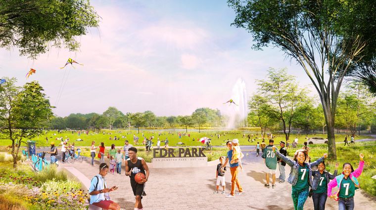
FDR Park Plan
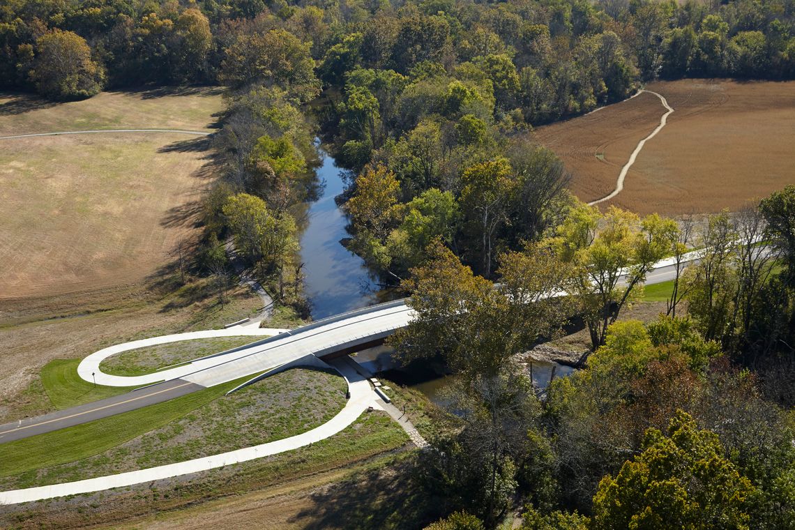
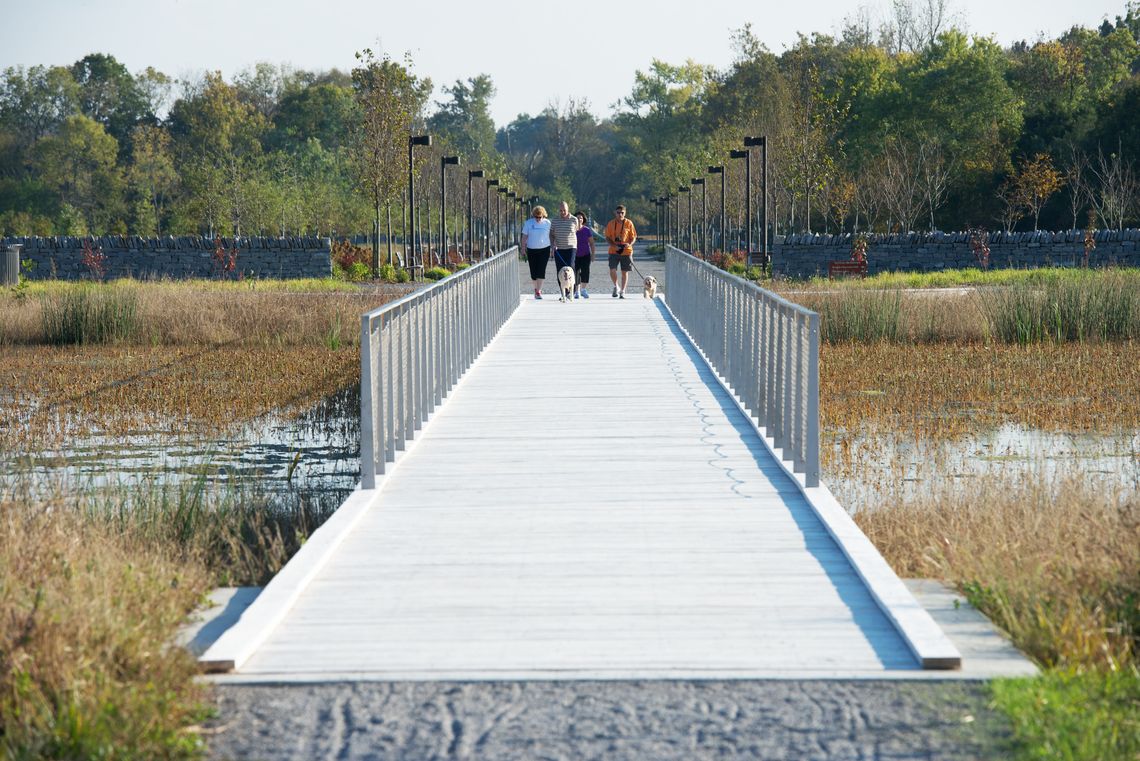
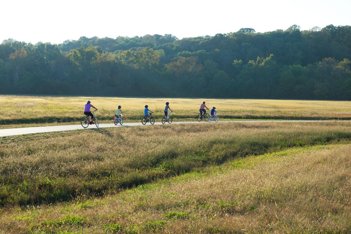
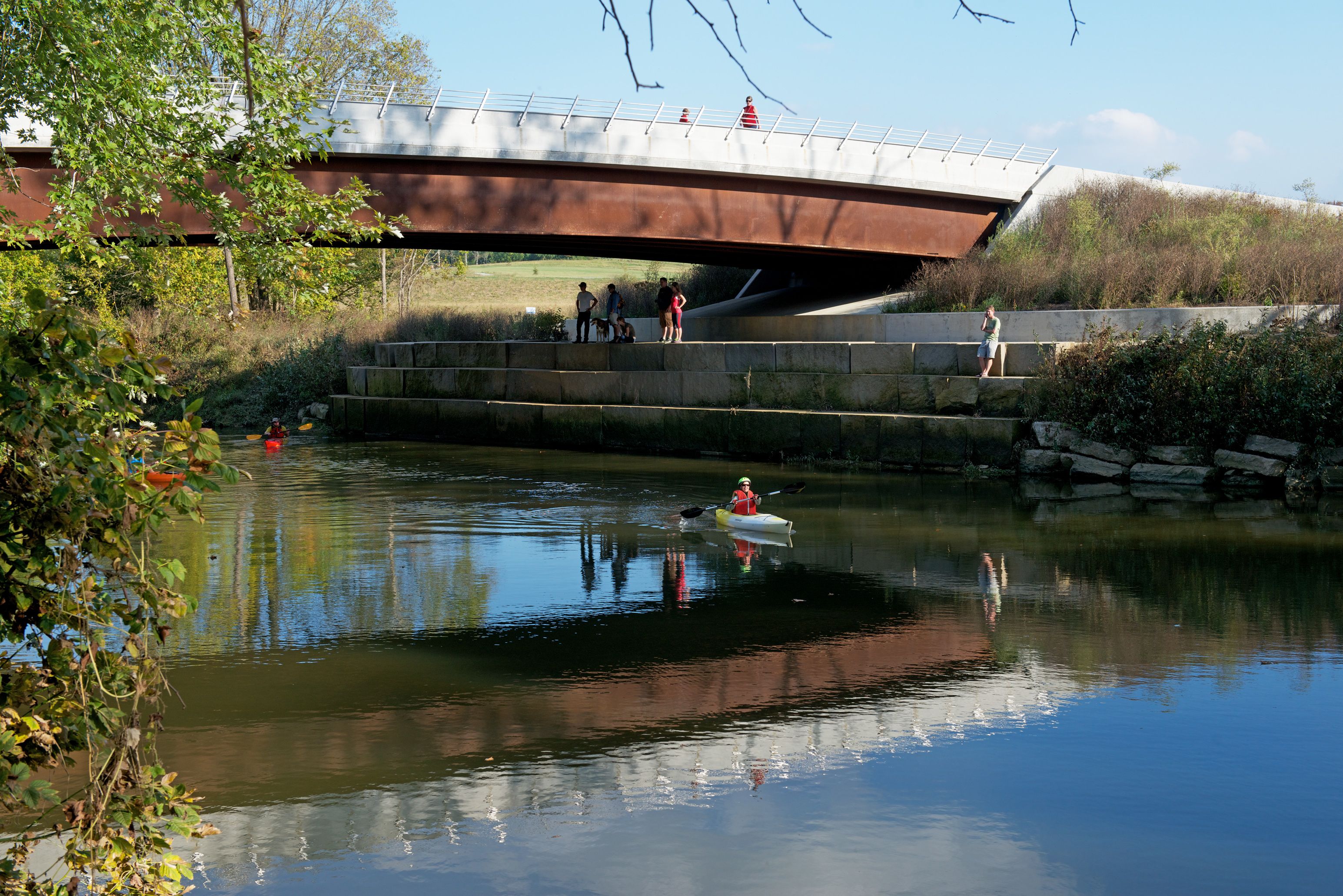
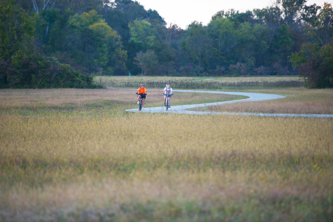
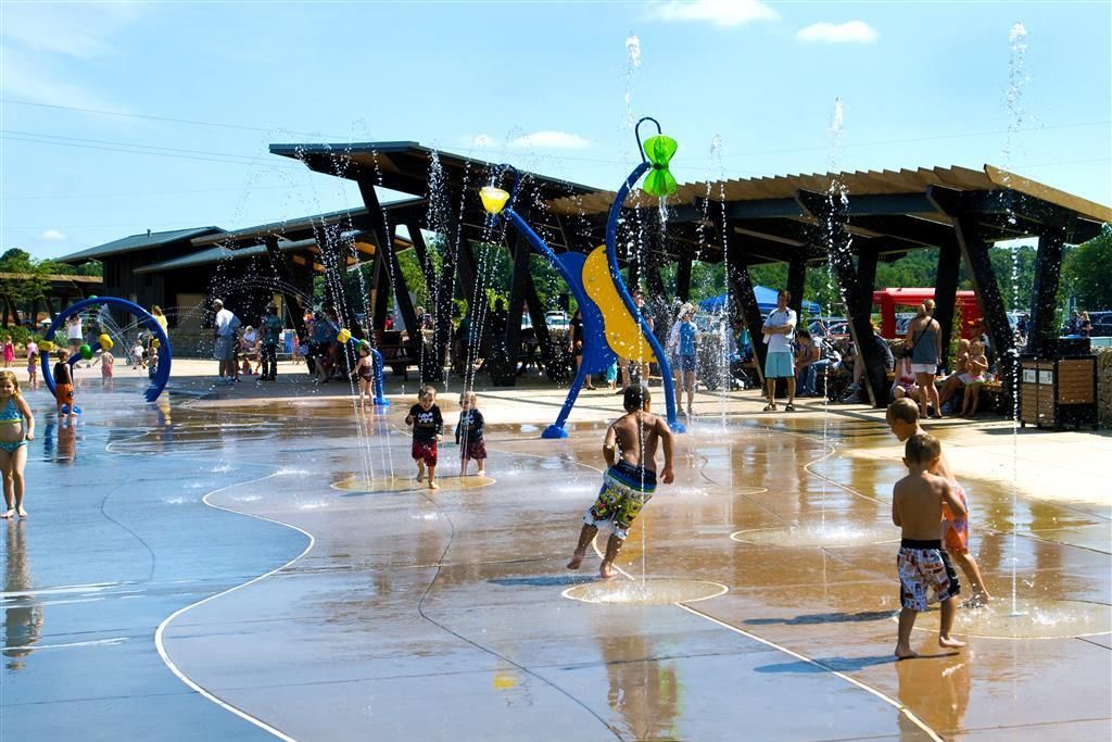
The Floyds Fork River is located on the eastern edge of the Louisville Metro area in Jefferson County, Kentucky. The Parklands of Floyds Fork (the Parklands), is a 20-mile long, 4,000-acre public park currently nearing completion within the river corridor. WRT’s master plan and subsequent design established direction for four regional parks connected by a greenway, meandering along the lush Kentucky bottomlands and flanking hillsides. By securing open space ahead of the development curve, Louisville is using parkland to proactively shape future development. WRT worked with the client to develop a more sustainable model for urban growth beyond the city limits, in which the Parklands is the green frontier of the region’s eastward development and the future green infrastructure of communities yet to be.


Related Projects
We believe parks and open spaces should improve quality of life, foster economic development, and protect the environment.